As of 21 Aug 1pm
| Bad Sensor |
|---|
| TRH at 4m.t41 |
| Not reporting or all NaNs |
|---|
| ttb GPS |
As of 21 Aug 7am (following Gary's instructions)
| Bad Data |
|---|
| Rfan.4m.t41 |
| Rfan.4m.t47 ? |
| Not reporting or all NaNs |
|---|
| t1 |
| t22 |
| t23 |
| t24 |
| tt (ttb, ttt, 7m.t0, 15m.t0, 23m.t0) |
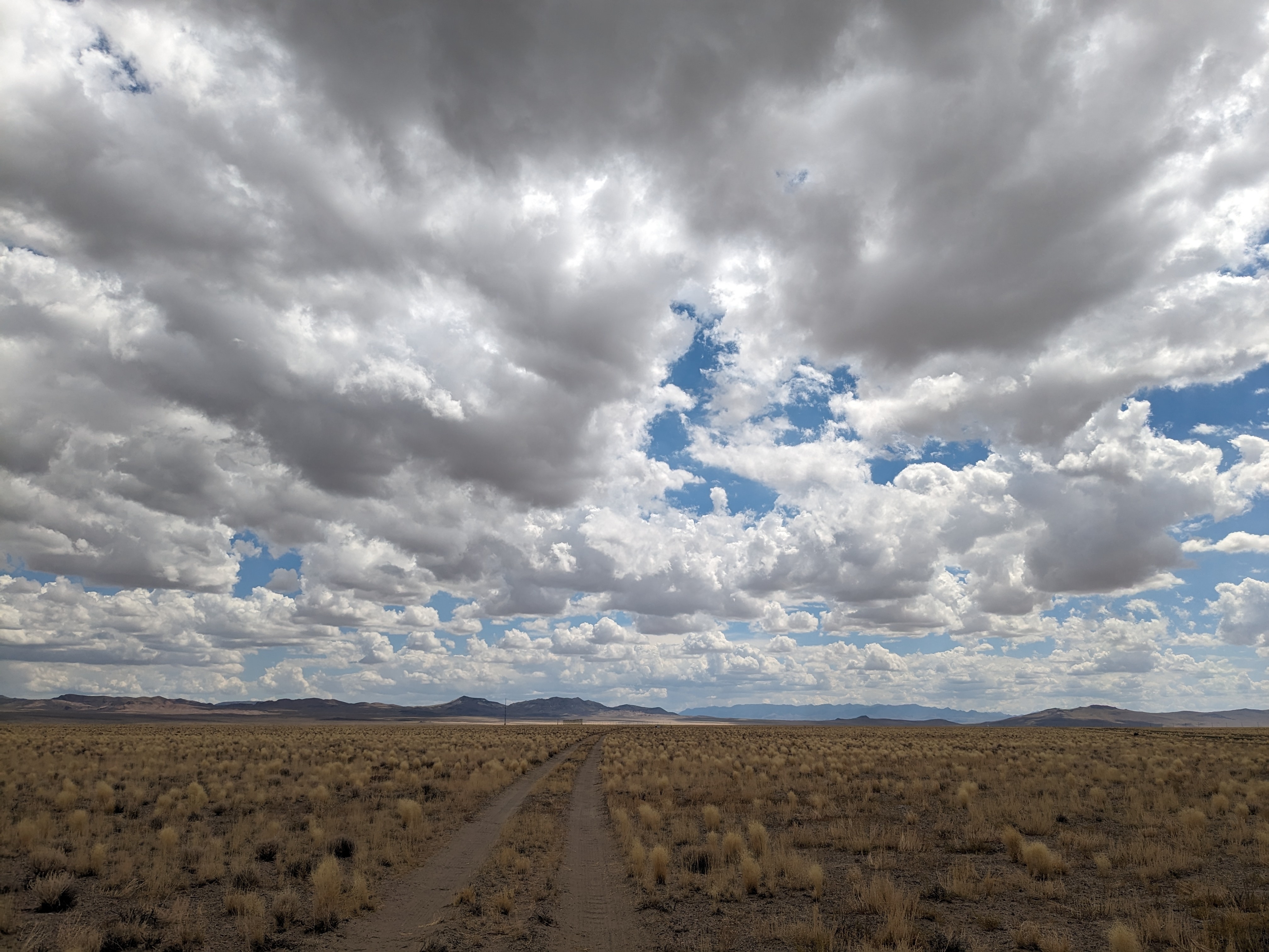
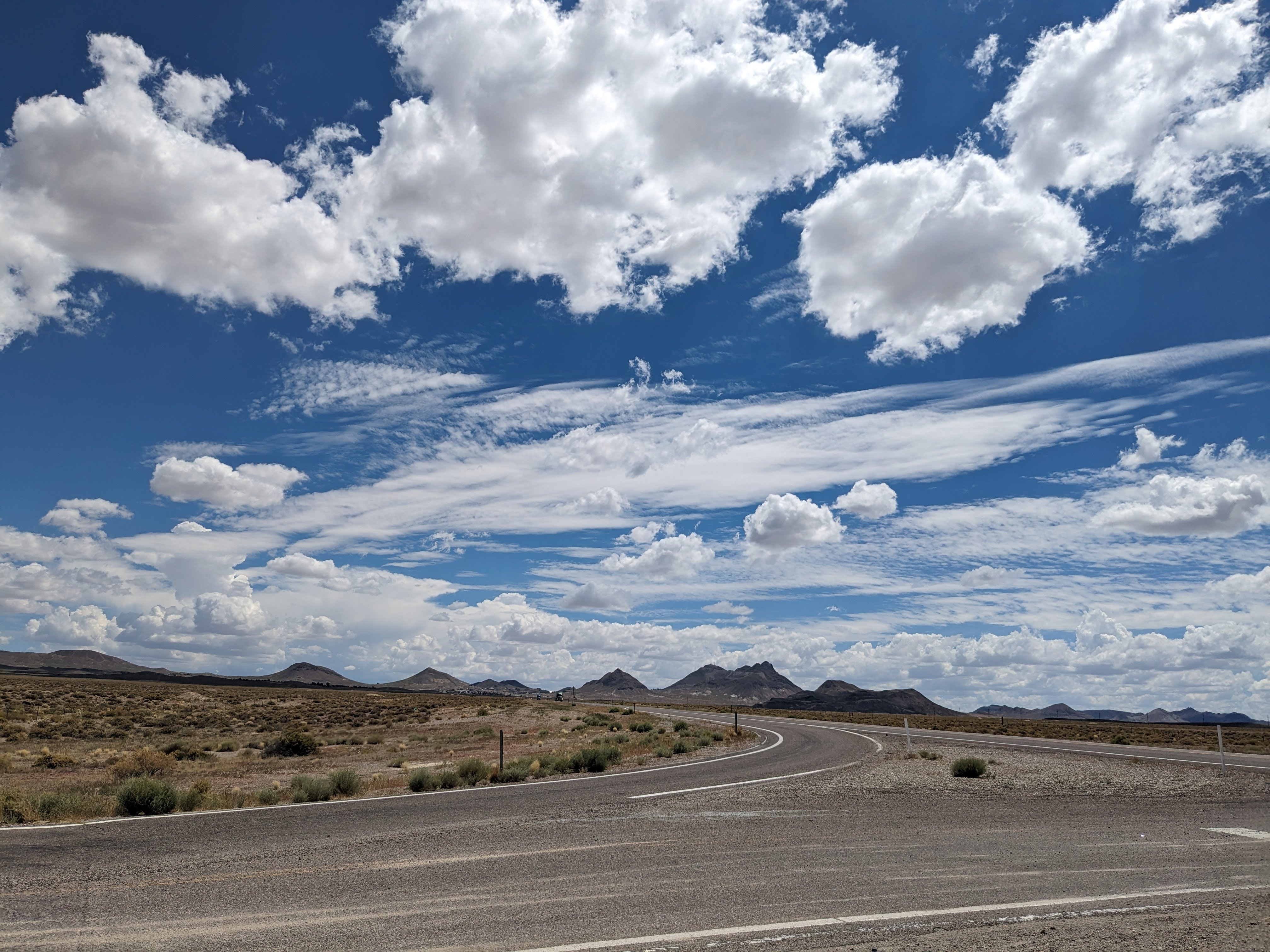
Weather: Sunny early with the cloud deck rolling in by 9am. Southerly winds picking up by the afternoon. Its 8pm as of this blog and a light drizzle has started.
Staff: Jacquie, Sam
Data check (AM/PM): Stable
Notes
- Took down hotfilm sensors in the am.
- Emptied the garbage bin in all the trailers and Sam took them to the dump. He came back with oreo's (the hazelnut one's!).
- We did a walk through and moved all the loose tarps and empty totes into the container, secured all outdoor rubber totes and put weights on those that were loose. Sam secured the lidars and profilers (read his blog).
- Launched the 10am and 3pm radiosondes then called it a day.
Photos of the Day
9am - View taken from the back of the base trailer looking at the array
12pm
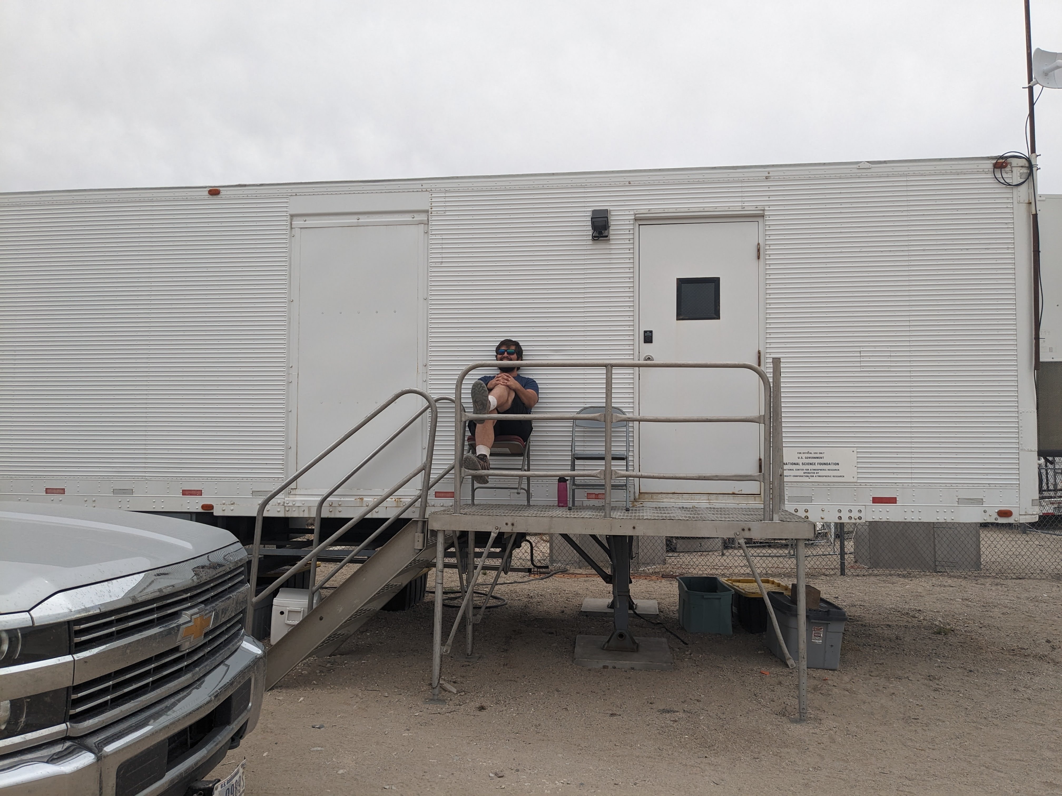
2pm - Enjoying the cooler weather, clouds, and just waiting to launch a radiosonde.
In anticipation of Hurricane Hilary heading our way in the next few days we removed the hotfilms this morning.
- Before heading to t0, I checked that the data was good so we wouldn't be returning a broken hotfilm.
- Between 830- 845am we removed all the hotfilms from t0 (yes, I used two hands Steve)

| SF1 | SF2 | SF3 | SF5 |
|---|---|---|---|
| 0.5m | 1m | 2m | 4m |

I've now rerun all the statistics since the beginning of the project and rerun the webplots. I think the wind directions now are right, though I haven't plotted wind roses. Supposedly, this also implemented the shadow correction on the CSAT3, but the w'w' array plots still look wrong. I'll check on this.
This alert began 18 Aug 2023 10:00 GMT and is scheduled to expire 22 Aug 2023 23:59 GMT.
Source: Worldcue® Alert
Severity: Warning Alert
Environment: Hurricane Hilary tracking west-northwestward in the North Pacific Ocean early Aug. 18. Landfall over Baja California State, Mexico, Aug. 20.
- Event: Hurricane Hilary
- Affected Area(s): Western and northwestern Mexico; southwestern and western US (map)
- Projected Landfall (Date): Close approach to northwestern Baja California Sur (early Aug. 20); western Baja California (late Aug. 20)
- Center of Circulation: Approximately 640 km (400 miles) south of Cabo San Lucas, Baja California Sur State
- Maximum Sustained Winds: 125 knots (230 kph, 145 mph)
Summary
Hurricane Hilary has strengthened into a Category 4 hurricane and is tracking west-northwestward in the eastern North Pacific Ocean off the west coast of Mexico early Aug. 18. As of 03:00 MDT, the system's center of circulation was approximately 640 km (400 miles) south of Cabo San Lucas, Baja California Sur State.
Forecast models indicate that the storm will initially maintain Category 4 hurricane strength as it tracks northwestward and then north-northwestward off the coast of western Mexico Aug. 18-early Aug. 19, before weakening into a Category 3 hurricane as it approaches the Baja California Peninsula Aug. 19. The system is forecast to weaken further into a Category 2 and then Category 1 hurricane as it continues to track north-northwestward and passes close to far northwestern Baja California Sur early Aug. 20, before making landfall as a tropical storm over Ensenada Municipality in Baja California State late Aug. 20. Hilary is then forecast to weaken further into a tropical depression as it tracks generally northward across southern California and Nevada Aug. 21, before dissipating over southeastern Oregon early Aug. 22. Some uncertainty remains in the track and intensity forecast, and significant changes could occur over the coming hours.
As of early Aug. 18, authorities have issued the following coastal watches and warnings:
- Hurricane Watch: The Baja California Peninsula north of Punta Abreojos to San Jose de Las Palmas.
- Tropical Storm Warning: The Baja California Peninsula from Punta Abreojos southward and Loreto southward.
- Tropical Storm Watch: The Baja California Peninsula north of Loreto to Bahia de Los Angeles and mainland Mexico from Huatabampito to Bahia Kino in Sonora State.
Authorities will likely issue new warnings or update existing advisories throughout the system's progression in the coming hours and days.
Hurricane conditions are possible within the hurricane watch area by late Aug. 19-early Aug. 20. Tropical-storm-force winds are expected within the warnings and watch areas late Aug. 18-early Aug. 19. Rainfall totals of 7.5-15 cm (3-6 inches), with localized maximums of up to 20 cm (8 inches), are forecast across parts of the Baja California Peninsula through late Aug. 20. Similar rainfall amounts are expected in parts of southern California and southern Nevada through Aug. 21. Totals of 2.5-7.5 (1-3 inches) are forecast across other parts of the western US. Storm surge could produce coastal flooding along the western Baja California Peninsula where the storm approaches the coast. Large swells generated by Hilary, which are likely to cause life-threatening surf and rip current conditions, are forecast across parts of the southwest coast and the Baja California Peninsula over the coming days.
Sustained heavy rainfall could trigger flooding in low-lying areas and those with easily overwhelmed drainage systems. If weather conditions prove hazardous, localized evacuations, flash flooding, and landslides are possible.
The inclement weather could trigger localized business, transport, and utility disruptions and render some bridges or roadways impassable. Flight disruptions at regional airports and temporary closures of ports are also possible. Stagnant pools of water during and after flooding increase insect- and waterborne diseases, such as dengue fever, cholera, and malaria. Exposure to raw sewage and other hazardous materials mixed with floodwaters poses a serious health threat.
Advice
Activate contingency plans in areas where officials forecast tropical storm conditions. Heed any evacuation orders that may be issued. Use extreme caution in low-lying coastal areas and near streams, creeks, and other waterways due to the potential for severe flooding and storm surge. Stockpile water, batteries, and other essentials in advance. Charge battery-powered devices when electricity is available; restrict the use of cellular phones to emergencies only. Power down mobile devices when not in use. Keep important documents and necessary medications in waterproof containers. Observe strict food and water precautions, as municipalities could issue boil-water advisories following flooding events. Take precautions against insect- and waterborne diseases in the coming weeks.
Plan accordingly for protracted commercial, transport, and logistics disruptions in areas in the path of the storm, especially if vital infrastructure is damaged. Seek updated information on road conditions before driving or routing shipments through areas where flooding has occurred. Confirm flights before checking out of hotels or driving to the airport; clearing passenger backlogs may take several days in some locations.
Resources
US National Hurricane Center
Mexico National Meteorological Service (SMN)
Weather: Sunny. Scattered clouds mostly to the east. Southerly winds throughout the day and windy (4-10m/s near the surface).
Staff: Jacquie, Sam
Data check (AM/PM): Stable-ish with some data gaps that Steve and Isabel resolved.
- Launched the 10am, 3pm radiosondes (the afternoon one went horizontal towards the airport for a while!)
- Took soil samples at all three sites.
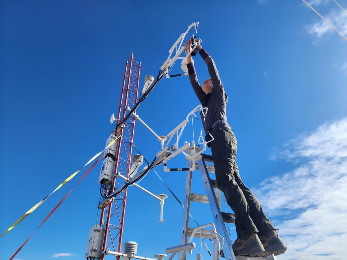
- Cleaned the ISFS radiometers.
- Took photos of a few missing ISFS assets for Tony and Mel
Photos of the Day


(left) Sam and Bruce launching the 10am sonde. (right) Sam troubleshooting the PurpleAir at t44 while I took soil samples.

Sam, Mark and his friend Ed (a Tonopah native) visiting the site yesterday.
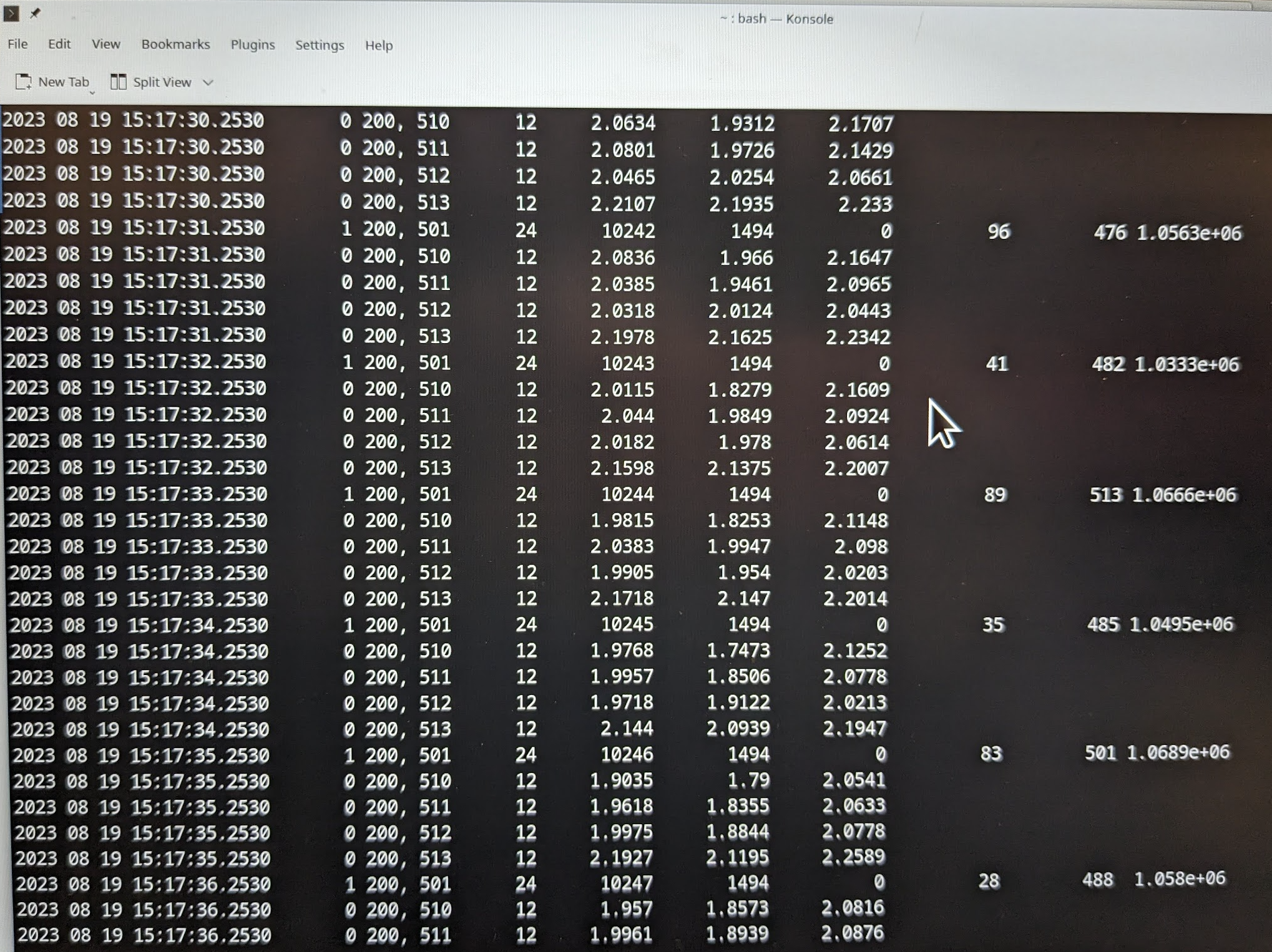
Saw in qctables that this sensor went down this morning. I've brought it back with a pio power cycle. We should keep an eye on it.
A few things we've talked about in case of heavy rain:
- Remove hot-films (see hot-film sidebar entry on main wiki page)
- Consider lowering the telescoping tower (see telescoping tower sidebar entry on main wiki page)
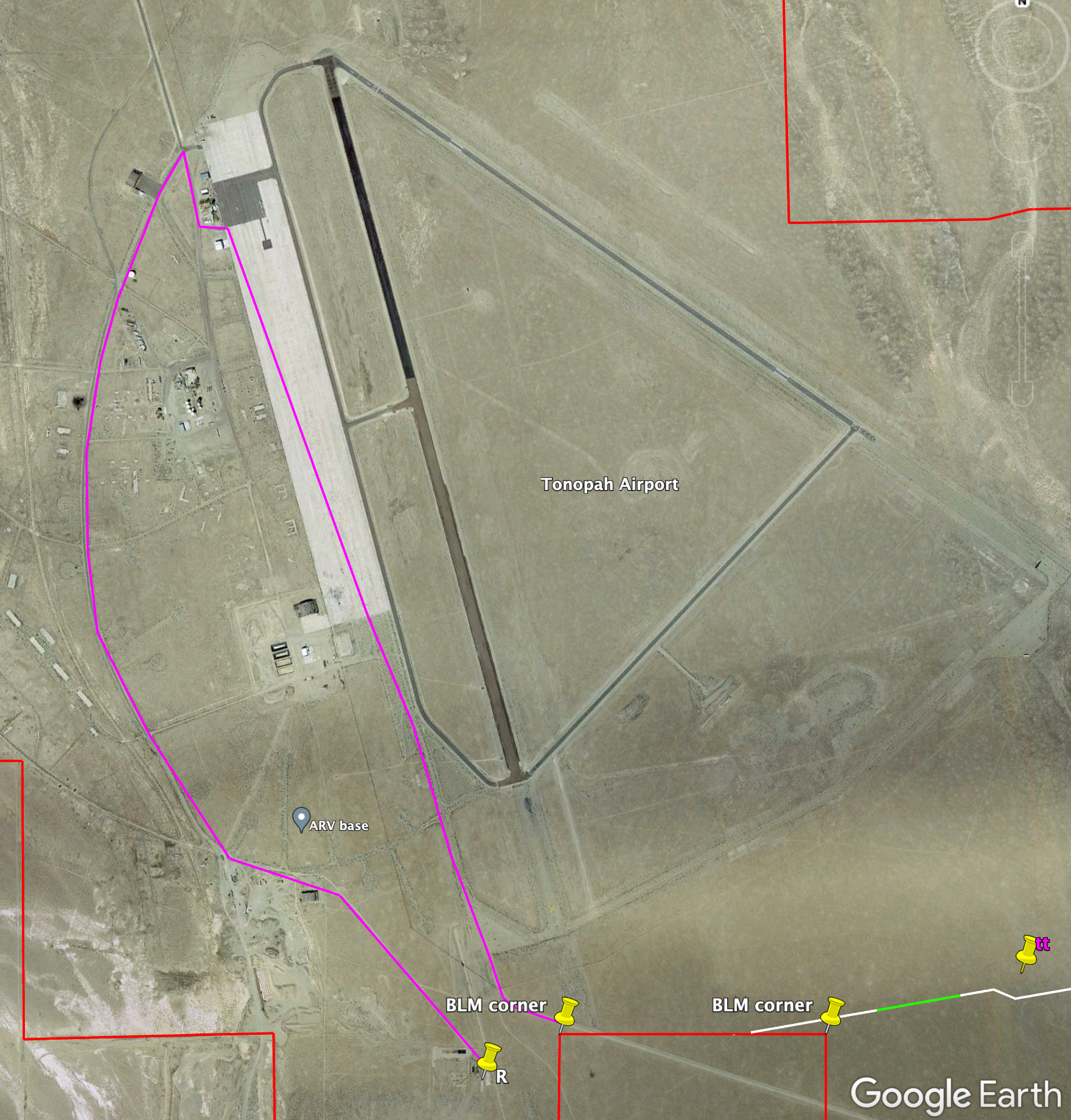
- Consider driving the long way (magenta) to avoid the big ditch between the base trailer and the towers. You'll need the gate combo 1230. Stay well clear of aircraft and runway when inside the fence.
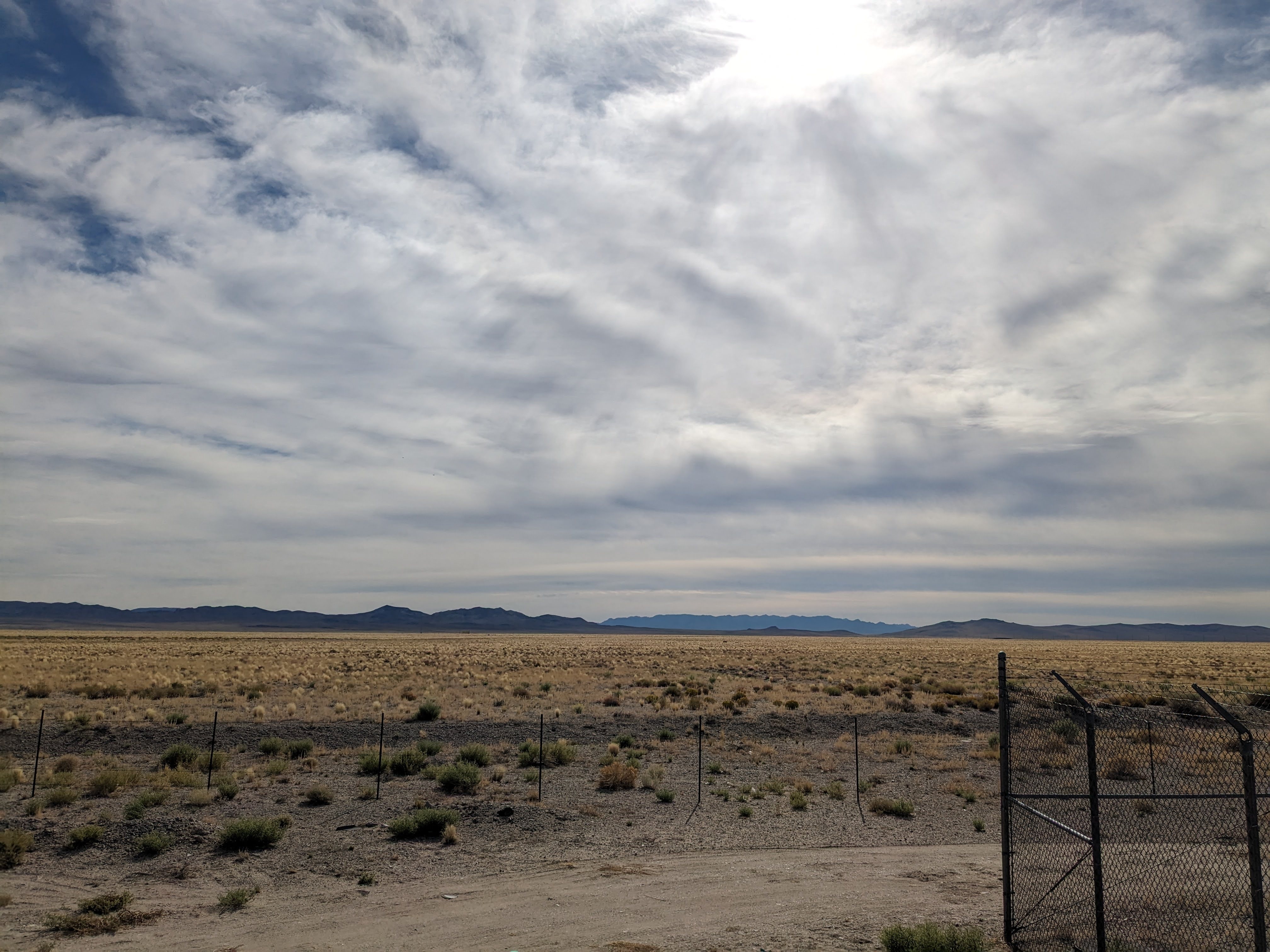
Weather: Warm, dry, variable clouds and winds.

Aug 15, 9am


Aug 16 (left) 11am, (right) 2pm (winds from the north)
Staff: Jacquie, Sam, Bill
Data check (AM/PM): Stable
- Bill left this morning (safe travels!)
- Sam had a more eventful day helping the OU drone operator (maybe he'll mention in the ISS blog post).
Staff: Jacquie, Sam, Bill
Data check (AM/PM): Stable
Aug 13: Light drizzle mid morning, scattered cloud in the afternoon, overcast by early evening.
- Bill gave Sam the grand tour of the ISS sensors yesterday. Sam launched his first radiosonde at 3pm.
- Mack left sometime yesterday afternoon (safe travels!).
Aug 14: Scattered clouds, light winds.
- Due to the light drizzle and elevated RH yesterday, we took soil samples at all three sites.
- Cleaned the radiometers.
Photos of the Day


(left) Sam cleaning dust from the solar panels (with our new mop!). (Right) Sam collecting a soil sample at t49.


The usb stick on t29 had been offline for a couple days, apparently because of a usb disconnect like was happening on t38 before it was replaced. (ISFS-609) So I rebooted it and now the usb stick is working again.
The t0b and t0t usb sticks had reached more than 50% full. I removed the hotfilm data from t0t (that had already been copied off), and I changed the rsync removal window to keep 21 days of data on the sticks instead of 60.
nagios is all green again.
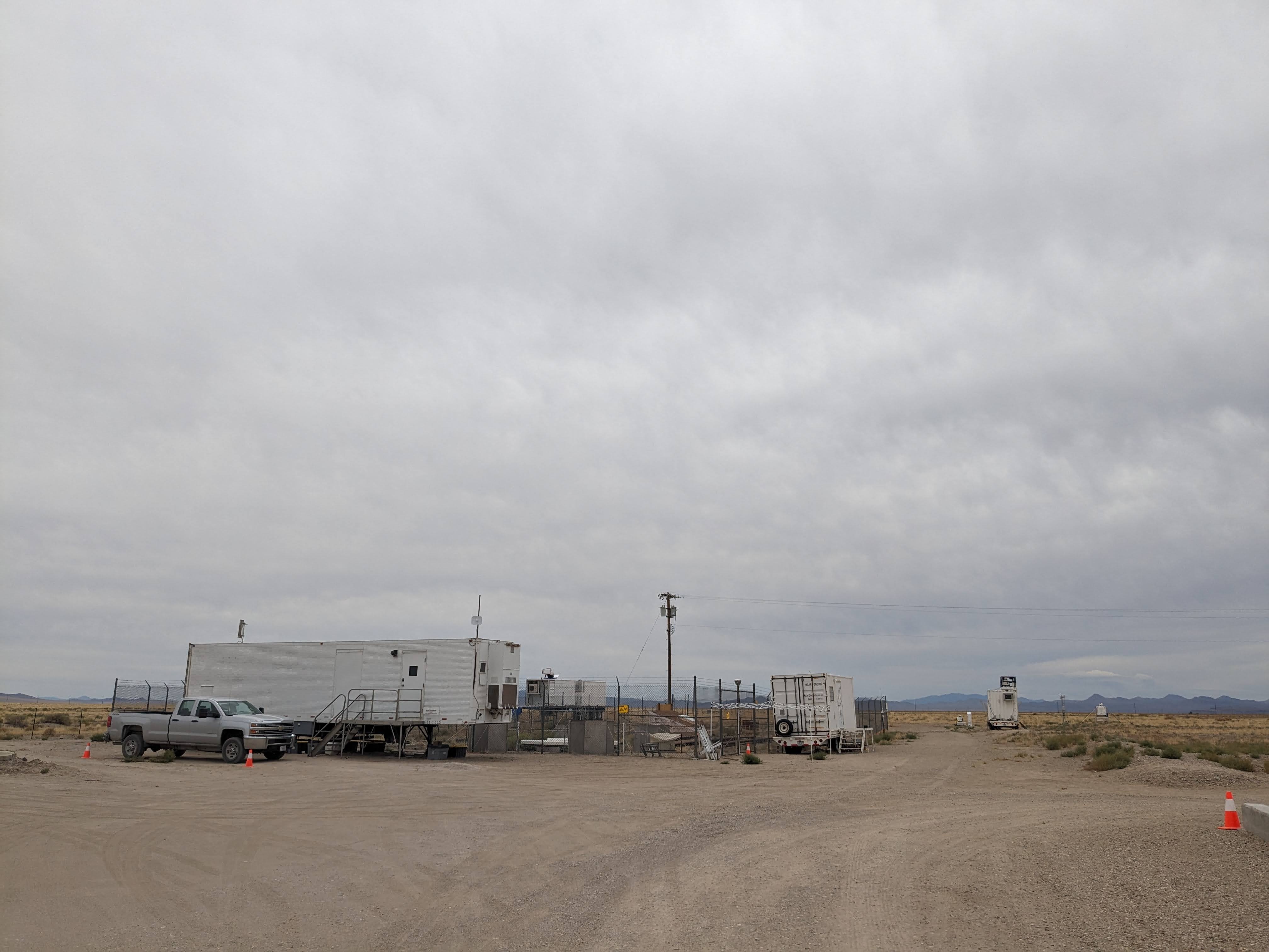
Weather: Calm, mostly cloudy by the afternoon.
Staff: Jacquie, Mack
Data check (AM/PM): Stable
Notes:
- Showcased the power of NCharts to Shane and Mack
- We saw that the 10AM radiosonde landed off the 95 hwy just west of Tonopah so we tried to find where it landed but no such luck.
- Bill and Sam arrived today.
- Chenning, Bill, Sam, Mack and Jacquie attended a dark sky star gazing event and watched the Perseids.
Photos of the Day
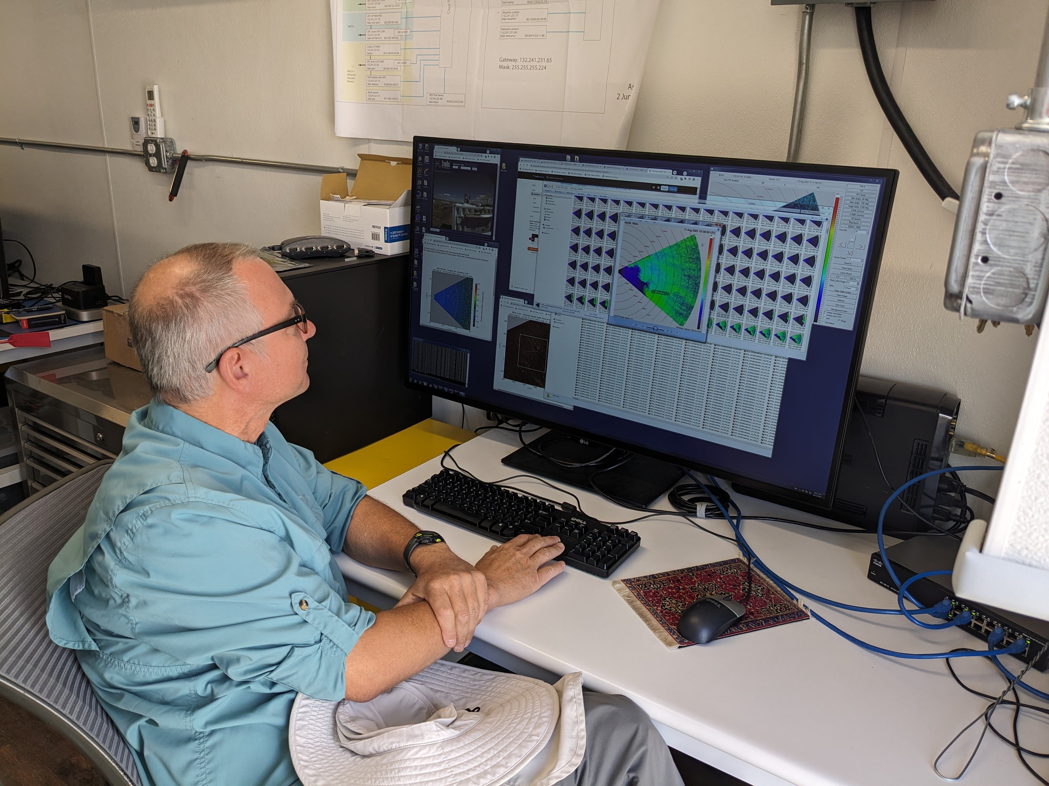
(left) Shane viewing REAL. (right) Searching for the radiosonde.
Weather: Calm, cloudy, pleasant.
Staff: Jacquie, Mack
Data check (AM/PM): Stable
Notes:
- Took a soil sample near t1
- Weighed the empty tins in the trailer (instead of at the site) to get a stable weight.
- Weighed the wet sample both in the field and in the trailer. The difference was only 0.1 g.
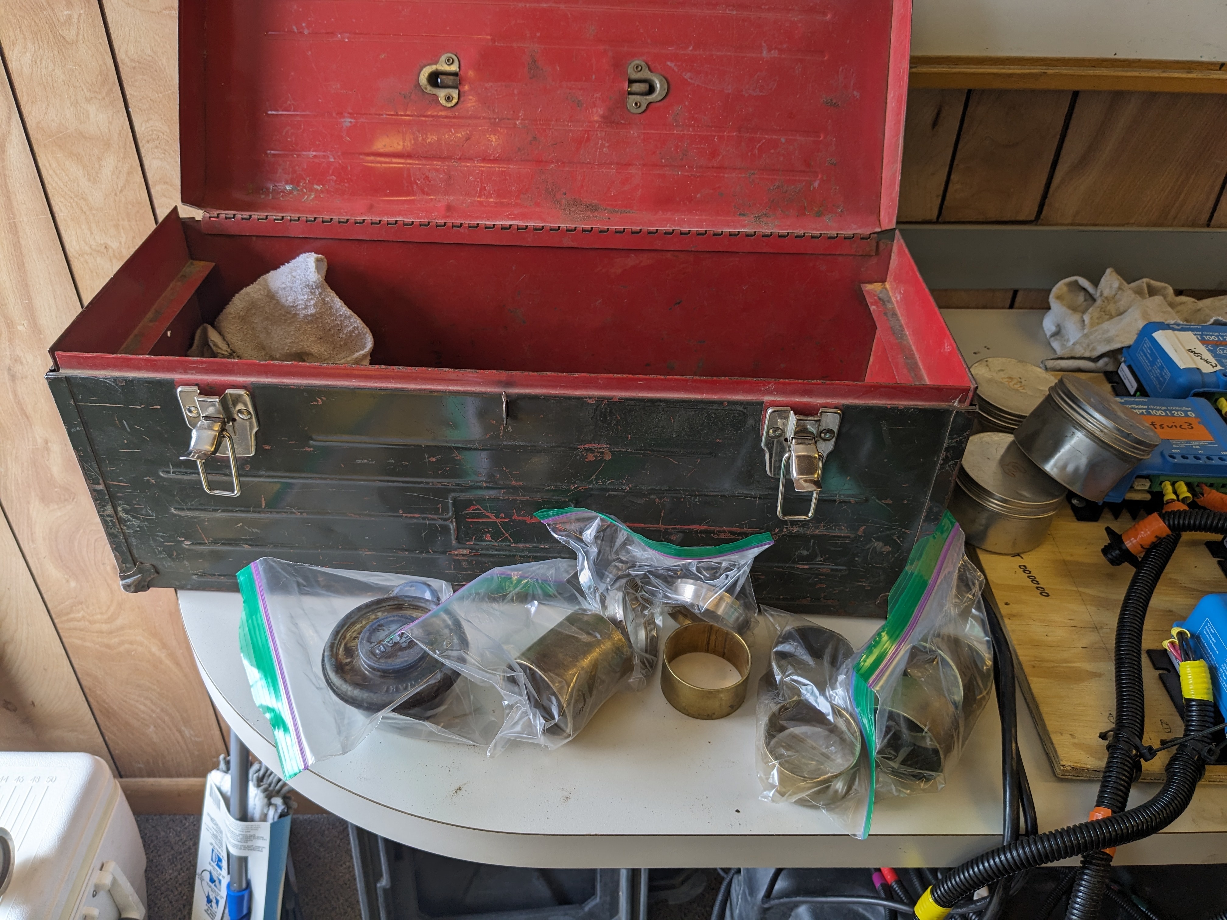
- Disinfected the trailer counters and tidied the soil sample kit (replaced the uber dirty bags with ziplocs so one can find things)
- Showcased the power of NCharts to Chenning
Photos of the Day