Synoptic Conditions
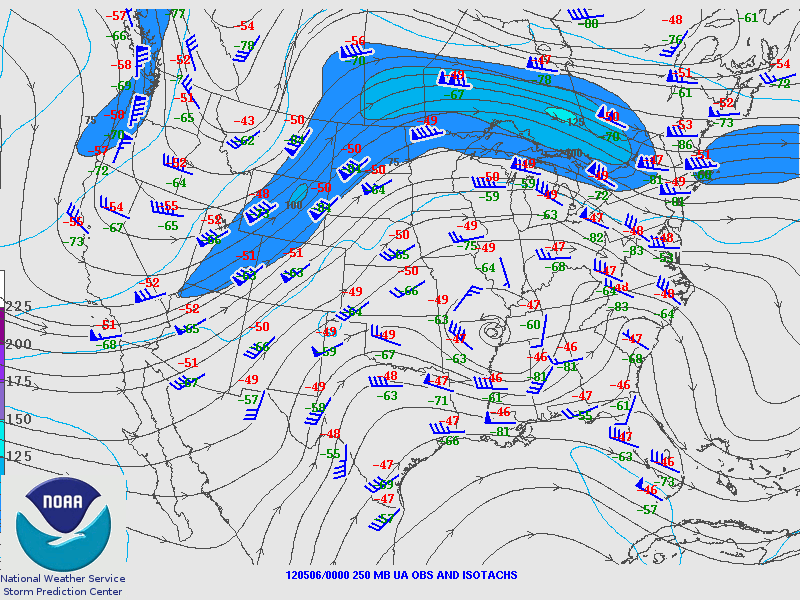
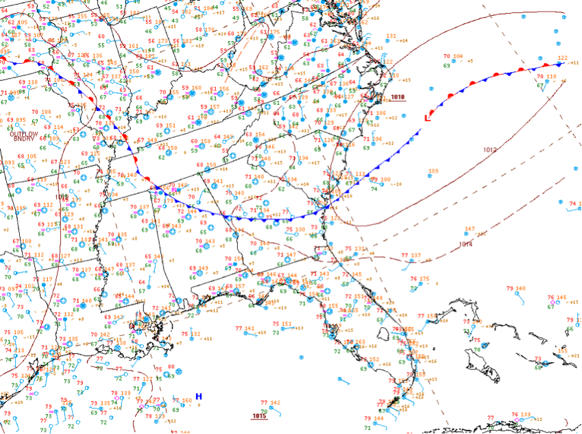
A shortwave ridge moved through the area at the beginning of the period followed by a shortwave trough that formed an upper level closed low. The low did not reach Georgia until 6 May. This upper level low present at 250 mb did not present strongly at the lower levels or the surface. However, a weak cold front associated with the surface low did move in from the north towards the end of the period, moving through Atlanta around 1200 UTC on 6 May 2012.
Clouds/Precipitation
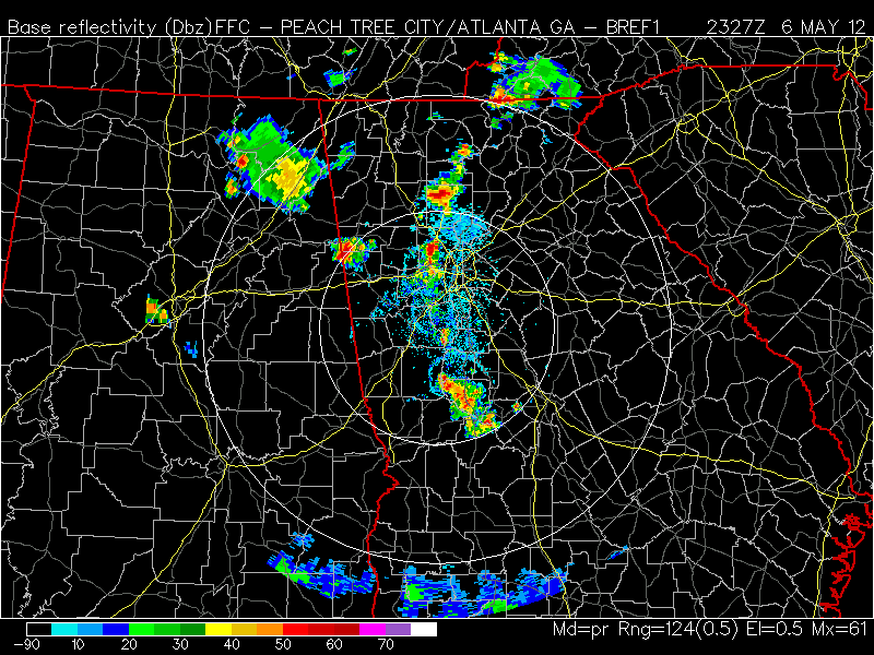
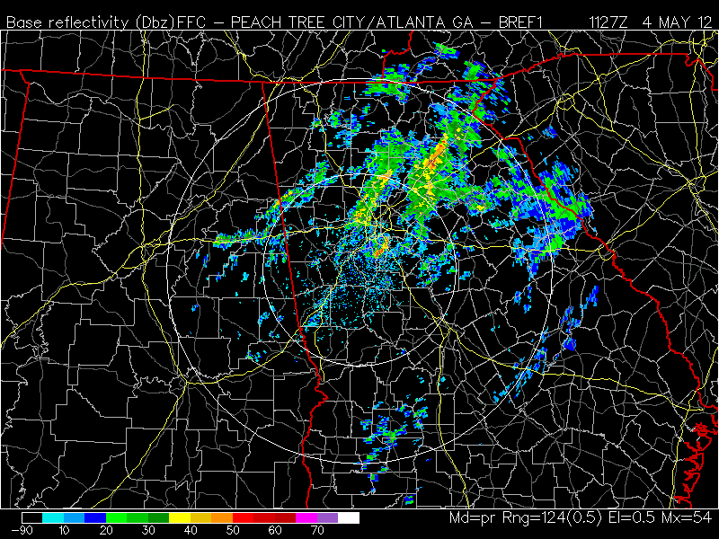
Scattered air mass convection moved through the area on 4 May, and the area remained clear on 5 May. On 6 May, some scattered convection popped up ahead of a complex in Alabama after 1700 UTC, and additional storms formed along a line west of the city after 2145 UTC. Satellite showed widespread clouds at the beginning period finally moving out of the area around 2300 UTC. The next day a cumulus field forms beginning about 1445 UTC and continued to affect the area during the rest of the day. Scattered cumulus again affected the area on 6 May with some high cirrus from nearby convection moving in around 1930 UTC.
Maps/Images
250 mb contour plot at 0000 UTC, 6 May 2012 showing shortwave ridge and approaching upper level low
Surface analysis at 1200 UTC, 6 May, showing cold front and weak surface low to east
Base reflectivity at 1127 UTC, 4 May 2012, showing scattered convection across Georgia
Base reflectivity at 2330 UTC, 6 May 2012, showing convection forming west of Atlanta area