Synoptic Conditions
Synoptic conditions were similar for this location as they were for Atlanta. The region was influenced by the same upper level low and weak cold front moving in from the north.
Clouds/Precipitation
There were scattered showers in the area early in the day on 4 May and again around 1100 UTC. This second round of showers lasted less than two hours before clearing out. There was little to no precipitation in the area on 5 May. A storm complex formed to the north around 0800 UTC on 6 May and moved into the area, bringing both thunderstorms and some more stratiform precipitation through about 1700 UTC. Additional storms began forming behind this complex towards the very end of the period but did not appear to affect Talladega. In addition to this precipitation, scattered cloudiness affected the area consistently on all days. This included a mix of cumulus and higher-level clouds.
Maps/Images
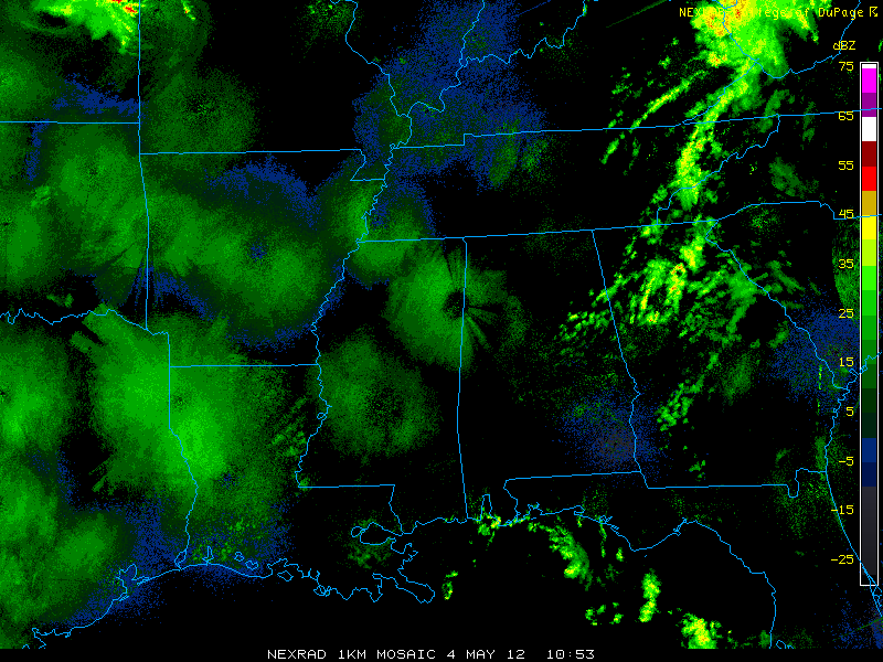
Base reflectivity at 1053 UTC, 4 May 2012, showing scattered precipitation forming in eastern Alabama
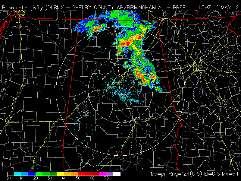
Base reflectivity at 1159 UTC, 6 May 2012, showing convective complex moving south through Alabama
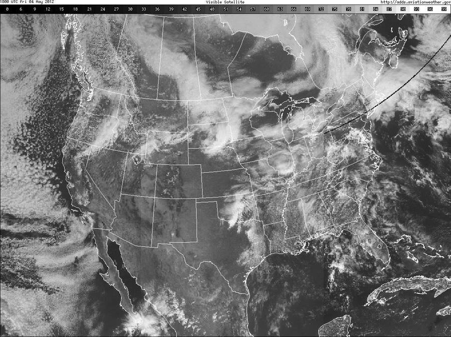
VIS at 1830 UTC, 4 May 2012, showing scattered cloudiness across Alabama
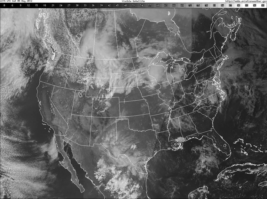
VIS at 2230 UTC, 5 May 2012, showing high clouds across Alabama
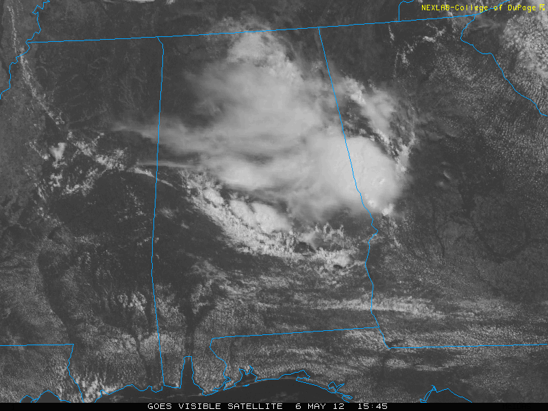
VIS at 1545 UTC, 6 May 2012, showing high clouds and cumulus associated with convective complex