Just Steve, due to several factors...
Started with a visit to Town Hall, where I got the keys to access the trailer compound and had a brief chat with the Tourism/Events Coordinator about possible outreach activities.
Stopped in to check in with Mark Pederson.
Next, flagged most trailer locations (just using measuring tape):
- Drove out to a possible site for tt. Had to "break trail" through brush the first 100m or so and there is one downslope place, but the rest was easy. After later studying the route, I think it can be improved a bit. Also, I need to move my flagged location about 50m south to be within the 50:1 glideslope
- Flagged locations for the storage seatainers, ISS1, ISFS base, and REAL trailers. I felt pretty good about all of these, including REAL.
Spent the rest of the day hassling with the Leica.
- Everything seemed okay with connections and set-up
- Placed TS exactly at the REAL lidar mirror, to establish one end of the reference line to (later) stake to.
- Started the process to locate the TS using multiple GPS pole sitings. Found that it took 2500-3000 GPS scans to get even to 0.200m accuracy (about 10min). Talking with Matt, tried to clear the ephemeris, but didn't help. Went through 4 points, and it couldn't calculate a position, tried deleting one (that it did permanently, by mistake) and could get a crude position. Decided to add more points, but still couldn't calculate TS position. With 7 points, it came up with a location, but clearly was WAY off. I had the idea that the position IDs were out of sync between the TS and the GS, but couldn't figure out how to edit this. While messing with this, managed to get out of the TS position mode and couldn't figure out how to get back in to use the points (GPCx) that it had saved. Eventually, had to start from scratch (GPDx) collecting another 3 or 4 points. It still complained about CQ being 1.3, rather than 1.0, but did manage to compute a reasonable position. This process took about 4 hours!
- I still needed a second point on the reference line, so I took the GPS pole out to the rough location of the closest end of the DTS. In the process, I oriented myself to the BLM land boundary. During the drive out to the field, I turned off the GPS and handheld device, but left the TS on (obviously!). When at the site, I couldn't connect through the long-range antenna to the TS. Drove back to the TS and could roughly site back to the pole, but "power scan" couldn't find the prism, presumably due to all of the optical shimmer (clearly obvious through the TS telescope) – at this point, it was 3:30pm. Manually siting through the telescope, it found that the distance was only about 680m. I could see the power LED on on the LR antenna, but had no indication that it was connected. Decided to shut everything down and come back in cooler conditions. To avoid the hassle of re-locating the TS, I put the bag over the head and left it in place.
Learned late in the day that the land use agreement was finally signed!
Stopped by the local urgent care, to learn about their services.
I did go back to the site at sunset, having used Google Earth to estimate the lat/lon of a few points along the reference line. Just using my phone GPS, to 12' accuracy, I flagged each of these locations. It was obvious that the shimmer was gone even then.
Plan for tomorrow:
My plan is to go back at dawn to get at least the second reference point flagged (adjusting the flags that I just installed). I'll pair the handheld with the TS when close by, then leave it on as I drive out. If this works, I'll try to flag the other points. If even one of these works, I'll go back and reposition (and resection again) the TS closer to the tower array and flag the DTS and tower locations, using offsets (2m and 6.17m, respectively) from the reference line. If not, its back to measuring tape and compass!
Also, throughout the day, receive 3 truckers to the site.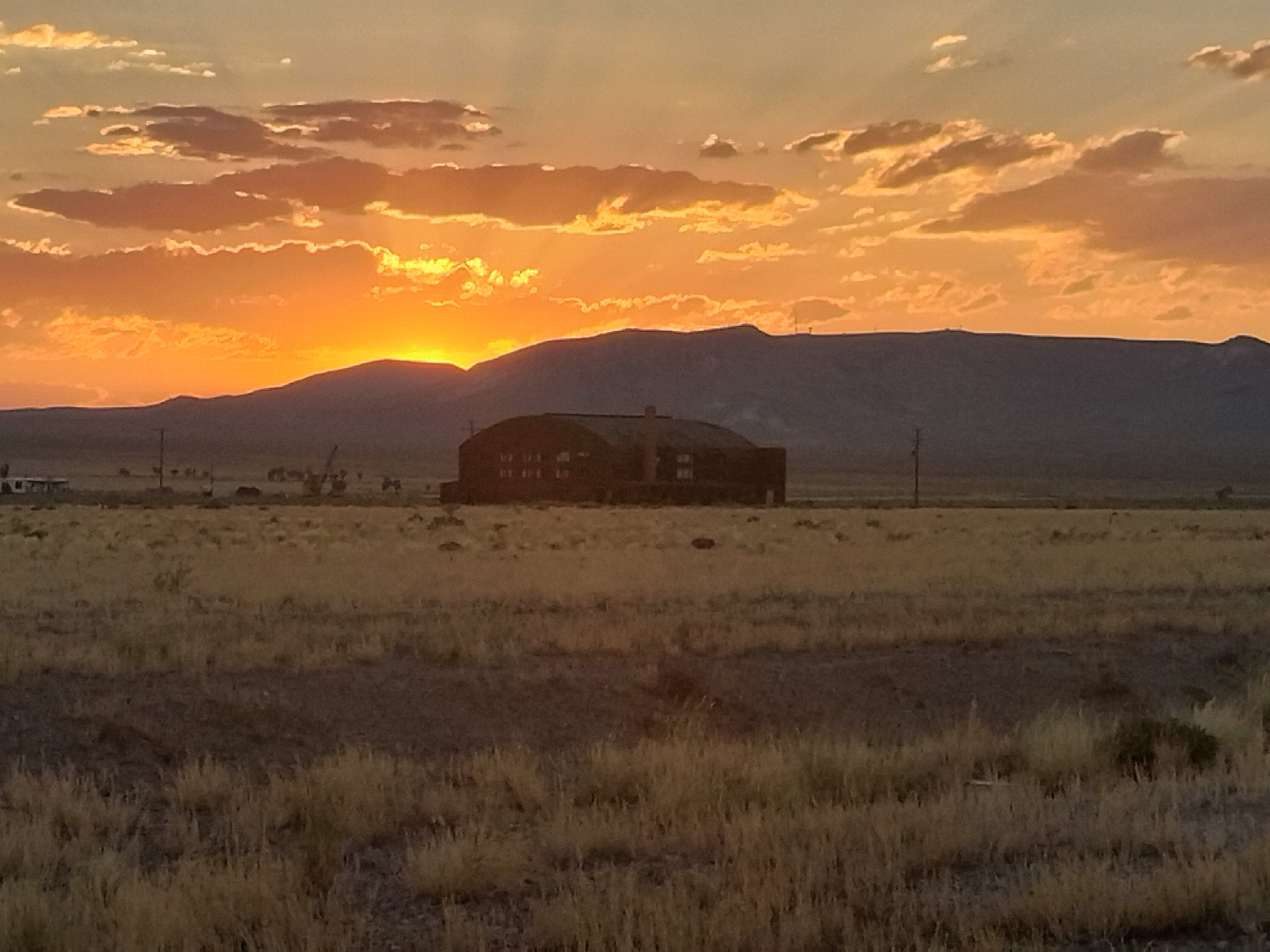
Typical sunset

My evening stroll companion!