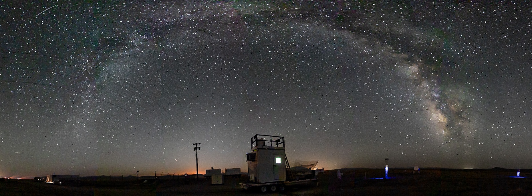
Winds data for EOL ISS profilers is now displayed in the Time Height Plot profiler visualization tool:
http://datavis.eol.ucar.edu/time-height-plot/M2HATS

(We are aware of some browser configurations encountering a 404 Not Found error on links to datavis.eol.ucar.edu due to the browsers automatically modifying the URL from 'http' to 'https', which is not currently supported on the datavis.eol.ucar.edu hostname. Manually replacing 'https' with 'http' in the location bar may address the error.)
Staff:
Mack, Jacquie, and Matt
Weather:
Sunny and warm. Surface winds were from the northwest most of the day (which is the smelly direction).
Soundings:
Students launched at 10am and 3pm local. No known problems.
Checklist:
- water level in lidar is good
- web plots
- real-time lidar displays
- 449 power: 2.88 A in the afternoon
Cleaning:
The WindCube seems to have a streak across the glass, not sure if this is actually a problem. I watched the wipe and it seems to be doing a good job, so the wiper could probably use a cleaning. Because the clock was off by 45 seconds we missed it the first time...

Other notes:
Looked at the purple air sensor along the array, and it seems to have been connected to the WiFi network just fine. I switched it to a different WiFi network to see if that would help but it doesn't seem to have made a difference. I also tried power cycling the sensor, since despite being connected to a WiFi network (that I confirmed does have internet) it doesn't seem to be able to connect.
I remotely conducted a few checks on the Windcube lidar today (UT day August 7)
Clock:
The windcube clock was noticed to be 47 seconds too fast. The internal GPS has failed (and Vaisala is having trouble sourcing a replacement) although it did work briefly at the beginning of the campaign so presumably the clock was correct then. At 0214 UT (Aug 7), the settings were adjusted to do a NTP check of the time.nist.gov clock instead of GPS so it should be correct from now on.
Azimuthal bearing check:
0135 UT did a series of slow PPI scans from 70 deg to 80 deg to scan past the ISFS tall tower and array of 4 meter towers.
Assuming that windcube is at 38.040471°N 117.088045°W
- The tall tower is at 38.04376008N 117.069964429W, then according to Google Earth, wrt to the windcube, the tower is at 1628 meters range, bearing 77.0 deg.
- The west end of the ISFS array is about 38.042653°N 117.074279°W, wrt to the windcube, 1235 m range, bearing 78.7 deg.
- The east end of the ISFS array is about 38.043038°N. 117.071518°, wrt to the windcube, 1480m range, bearing 78.9 deg.
The PPI scans showed a target at around 1650m, bearing 76.75 - 76.85 deg (presumably the tall tower), and more targets ranging from 1200m 78.25 deg to 1600m 78.8 deg (presumably the ISFS array). These measurements imply that the windcube bearings may around 0.2 deg too low, although there may be small errors in the GPS locations, and the tower bearings did not account for the guy wires and straps.
Set up a schedule to do this scan once per day around 1215 UT.
Another way to check this is to examine the hourly zero elevation PPI scans since they seem to show the power line to the navigation beacon and probably the towers, although the angular resolution is lower on these scans.
RHI check:
0155 UT did some slow RHI scans from -0.5 deg to 10 deg at 77 deg. These should be later compared to anemometers on the tall tower. These scans should also be examined to see at what elevation the ground is hit since this is difficult to observe on the realtime screen. Set up a schedule to do these scans every 6 hours from 0630 UT.
Note the hourly zero elevation PPI scans may also help with elevation calibration since they seem to hit the ground to the north of the towers, and this could be matched to topography.
Hourly Scans:
Adjusted the hourly intercomparison scans. LROSE seems to have problems plotting the previous west-east and south-north RHIs so switched to north-south and east-west RHIs, with a south to east zero elevation PPI scan in between. There is also a vertical stare of 2 minutes to compare with the UVA Halo lidar (and this also allows an estimate of PBL depth to be determined). In between these hourly scans (and the other scheduled scans mentioned above), the windcube continues to do one-minute PPI scans at 35 deg elevation for VAD wind measurements.
Staff:
Mack, Matt, and Jacquie arrived.
Weather:
Sunny and warm. A bit hazy.
Soundings:
Students launched at 10am and 3pm local. No known problems.
Checklist:
- water level in lidar is good
- web plots
- real-time lidar displays
- 449 power: 2.86 A in the afternoon
Cleaning:
Nothing to clean today
Other notes:
Staff:
Mack and Matt
Weather:
Sunny and warm.
Soundings:
Students launched at 10am and 3pm local. No known problems.
Checklist:
- water level in lidar is good
- web plots
- real-time lidar displays
- 449 power: 2.86 A in the afternoon
Cleaning:
Nothing to clean today
Staff:
Steve (who is now on his way back to Boulder), Matt, and Mack.
Weather:
Sunny and low 80s. Variable winds.
Soundings:
Students launched at 10am and 3pm local. No known problems.
Checklist:
- water level in lidar is good
- web plots
- real-time lidar displays
- 449 power: 2.89 A in the afternoon
Cleaning:
Nothing to clean today
Other notes:
Steve's last day in the field!
Staff:
Steve, Matt, and Mack.
Weather:
Mostly cloudy to overcast all day and 5-10 degrees cooler than it's been, with just a few sprinkles around. Winds were moderate and pretty consistent out of the south all day.
Soundings:
Students launched at 10am and 3pm local. No known problems.
Checklist:
- water level in lidar is good
- web plots
- real-time lidar displays
- 449 power: 2.94 A in the afternoon
Cleaning:
We did not clean the lidar lenses or NR01 due to the chance of light rain, but will do so tomorrow, weather permitting.
Other notes:
Isabel fixed an issue with data being copied from the field, but web plots are not working at the moment. The MISS DM monitor is still not working (immediately going into power save mode). The tape covering the lidar water jog had blown off, so I replaced it. There seem to be some bugs floating in it, so I’ll replace the water tomorrow when we clean the lenses.
Staff:
Steve, Matt, and Mack.
Weather:
A bit cooler today, with more scattered cumulus and high level cirrus. Winds picked up again in the afternoon and there was some noticeable smoke from a fire in the Mohave desert.
Soundings:
Students launched at 10am and 3pm local. No known problems.
Checklist:
- water level in lidar is good
- web plots
- real-time lidar displays
- 449 power: 2.88 A in the late afternoon.
Cleaning:
We plan on cleaning the lidar lenses and NR01 tomorrow.
Other notes:
Isabel fixed the VAD winds scripts, so the plots are back and everything seems to be running smoothly. I did notice that the MISS DM monitor is again immediately going into power save mode, an issue that Gary corrected with a reboot a couple of days ago. It also seems like the ISS2 webplots are not working, but I was able to see everything from ISS1 and the plots look fine.
Staff:
Steve, Matt, and Gary. Gary left this evening for Las Vegas and Mack arrived to take his place. Thanks for all your hard work, Gary!
Weather:
Hot again, with scattered cirrus and few cumulus. Winds were a little lighter and less gusty this afternoon than the previous few days. PBL depth looks to consistently exceed 4 km each afternoon, based on soundings and profiler data.
Soundings:
Students launched at 10am and 3pm local. No known problems.
Checklist:
![]() water level in lidar is good
water level in lidar is good
![]() web plots
web plots
![]() real-time lidar displays
real-time lidar displays
![]() 449 power: 2.79 A in the afternoon.
449 power: 2.79 A in the afternoon.
Cleaning:
Lidar lenses last cleaned by Bill, next cleaning planned Tuesday, Aug 1.
NR01: next cleaning planned Tuesday, Aug 1
Other notes:
VAD winds have not been generated since yesterday afternoon according to Nagios. Otherwise everything seems to be running smoothly.
Staff:
Steve, Matt, and Gary.
Weather:
Hot and mostly clear, with a few fair weather cumulus and gusty winds in the afternoon.
Soundings:
Students launched at 10am and 3pm local. No problems.
Checklist:
Matt checked:
![]() water level in lidar is good
water level in lidar is good
![]() web plots
web plots
![]() real-time lidar displays
real-time lidar displays
![]() 449 power: 2.79 A in the afternoon.
449 power: 2.79 A in the afternoon.
Cleaning:
Lidar lenses last cleaned by Bill, next cleaning planned Tuesday, Aug 1.
NR01: next cleaning planned Tuesday, Aug 1
Other notes:
See previous blog post for note about 449 profiler being briefly turned off this morning. Webplots are now working, the news of which Bill shared with the PI's yesterday. Otherwise all seems to be well.

The 449 profiler was shut down briefly around 9:00 am local to allow Shane to go into the compound to check on a circuit breaker. Apparently a GFCI had tripped and REVEAL had lost power. Profiler restarted at 09:11.
Staff:
Justin and Delia left today. Steve, Matt, and Gary remain.
Weather:
Hot and clear.
Soundings:
Students launched at 10am and 3pm local. No problems.
Checklist:
Matt checked:
![]() water level in lidar is good
water level in lidar is good
![]() web plots
web plots
![]() real-time lidar displays
real-time lidar displays
![]() 449 power: 2.93 A in the morning.
449 power: 2.93 A in the morning.
Cameras are working, but images are not yet being downloaded automatically.
Cleaning:
Lidar lenses last cleaned by Bill, next cleaning planned Tuesday, Aug 1.
NR01: next cleaning planned Tuesday, Aug 1
Other notes:
I changed the iss2 network so the cradlepoint is the router for entire instrument network instead of the data manager. (I haven't figured out why I couldn't get routing to work on Alma 9.) This allows updates on the DSM, NTP time sync to work on the camera without kludging DNS, and it makes it easier to forward a port on the cradlepoint to the camera: http://iss2-field.dyndns.org:25180/viewlive.html.
LapXM was indicating an error, "New dwell found that does not match data set" on 2023-07-26. Photo below. It does not look alarming and things are still working, so I cleared it.

Staff:
Steve, Matt, and Justin moved t0, while Gary sat in the trailer working on iss systems stuff, and Delia stayed at the hotel to attend meetings and the intern workshop.
Weather:
Hot and clear. Windy in the afternoon. We survived a direct hit by a dust devil yesterday afternoon. (See ISFS blog for more details.)
Soundings:
Students launched at 10am and 3pm local. No problems.
Checklist:
Matt checked:
![]() water level in lidar is good
water level in lidar is good
![]() web plots, except for lidar plots which were not working (see below)
web plots, except for lidar plots which were not working (see below)
![]() checked real-time lidar displays
checked real-time lidar displays
![]() 449 power: 2.83 A.
449 power: 2.83 A.
Cameras are working, but images are not yet being downloaded automatically.
Cleaning:
Lidar lenses last cleaned by Bill, next cleaning planned Tuesday, Aug 1.
NR01: next cleaning planned Tuesday, Aug 1
Other notes:
The 449 profiler was down for several hours early in the morning when too many HawkEye processes started hanging until the process limit was hit. Gary rebooted iss1, ran a system package update (unrelated to the hanging processes), and restarted the 449. Isabel has been working on resolving the problems with HawkEye in the lidar processing.
Nagios has been setup on iss2 and checks are slowly being cleaned up checks on iss1 and iss2. There are still some checks failing due to unknown data files (mostly related related to work in progress to download camera images), and iss catalog.
There is also a Temperature Zone 2 failing check on iss2. Probably that is just a missing limit configuration, but it has not bee investigated yet.
On the 20th of July around 4pm, the calibration kit was installed on the CS125. After leaving it for several hours, the data for the visibility was at 960. From the calibration kit, the TMOR calibration should be at 997. Software can be used to perform a full calibration on the instrument.
Below are pictures of data while the calibration kit was on the CS125 and what the TMOR should be.


Clear early, but scattered clouds developed and gradually thickened. Winds were light and variable during the morning, then the usual southerly picked up during the afternoon.
Discovered that the MISS profiler eastward as well as the northward winds were reversed overnight, so I must have reversed the east-west beam codes yesterday instead of the north-south. Fixed the problem and from about 1620 UT the MISS winds now appear correct.
The students launched two radiosondes, 10am and 3pm PDT as usual. No problems apart from the surface met data is not appearing on the sounding software display but that does seem to be making it into the data files. Carol reported that the sounding messages are successfully transferring to the GTS. Matt arrived last night and joined the soundings today to get a catch-up on procedures. These are mostly the same as previous projects, except that here we are using the iMet balloon enclosure (basically a large fabric tub that we inflate the balloon in as a test for possible use in Hydrogen balloons).
The. ISFS group moved the tall tower today. I had been using it as a hard target for calibrating the orientation of the Windcube lidar. I did one last set of scans this morning before they moved it, now it is beyond the ISFS tower array around 2 km to the east.
Cleared off the glass windows of all three wind lidars, the ceilometer, and the Hukseflux NR01 radiometer (around 23 UT). The Windcube washer water tank was almost empty and using water faster than expected so we will have to monitor that closely. Made minor adjustments to the Windcube scan strategy, the MISS height range, and the UVA Halo orientation (it was pointed about 1 deg west of north). Also tied down that lidar in case of high winds, backed up data, and tidied up around the site. The Windcube data hasn't been transferring to the Data Manager computer for a couple of days, Isabel is investigating.
Visited Shane and Bruce and got a tour of the REAEL lidar container - impressive.

A sequence of photos of a sounding launch from the iMet balloon enclosure