...
Started with a visit to Town Hall, where I got the keys to access the trailer compound and had a brief chat with the Tourism/Events Coordinator about possible outreach activities.
Stopped in to check in with Mark Pederson.
Next, flagged most trailer locations (just using measuring tape):
- Drove out to a possible site for tt. Had to "break trail" through brush the first 100m or so and there is one downslope place, but the rest was easy. After later studying the route, I think it can be improved a bit. Also, I need to move my flagged location about 50m south to be within the 50:1 glideslope
- Flagged locations for the storage seatainers, ISS1, ISFS base, and REAL trailers. I felt pretty good about all of these, including REAL.
...
Learned late in the day that the land use agreement was finally signed!
Stopped by the local urgent care, to learn about their services.
I did go back to the site at sunset, having used Google Earth to estimate the lat/lon of a few points along the reference line. Just using my phone GPS, to 12' accuracy, I flagged each of these locations. It was obvious that the shimmer was gone even then.
...
My plan is to go back at dawn to get at least the second reference point flagged (adjusting the flags that I just installed). I'll pair the handheld with the TS when close by, then leave it on as I drive out. If this works, I'll try to flag the other points. If even one of these works, I'll go back and reposition (and resection again) the TS closer to the tower array and flag the DTS and tower locations, using offsets (2m and 6.17m, respectively) from the reference line. If not, its back to measuring tape and compass!
Also, throughout the day, receive 3 truckers to the site.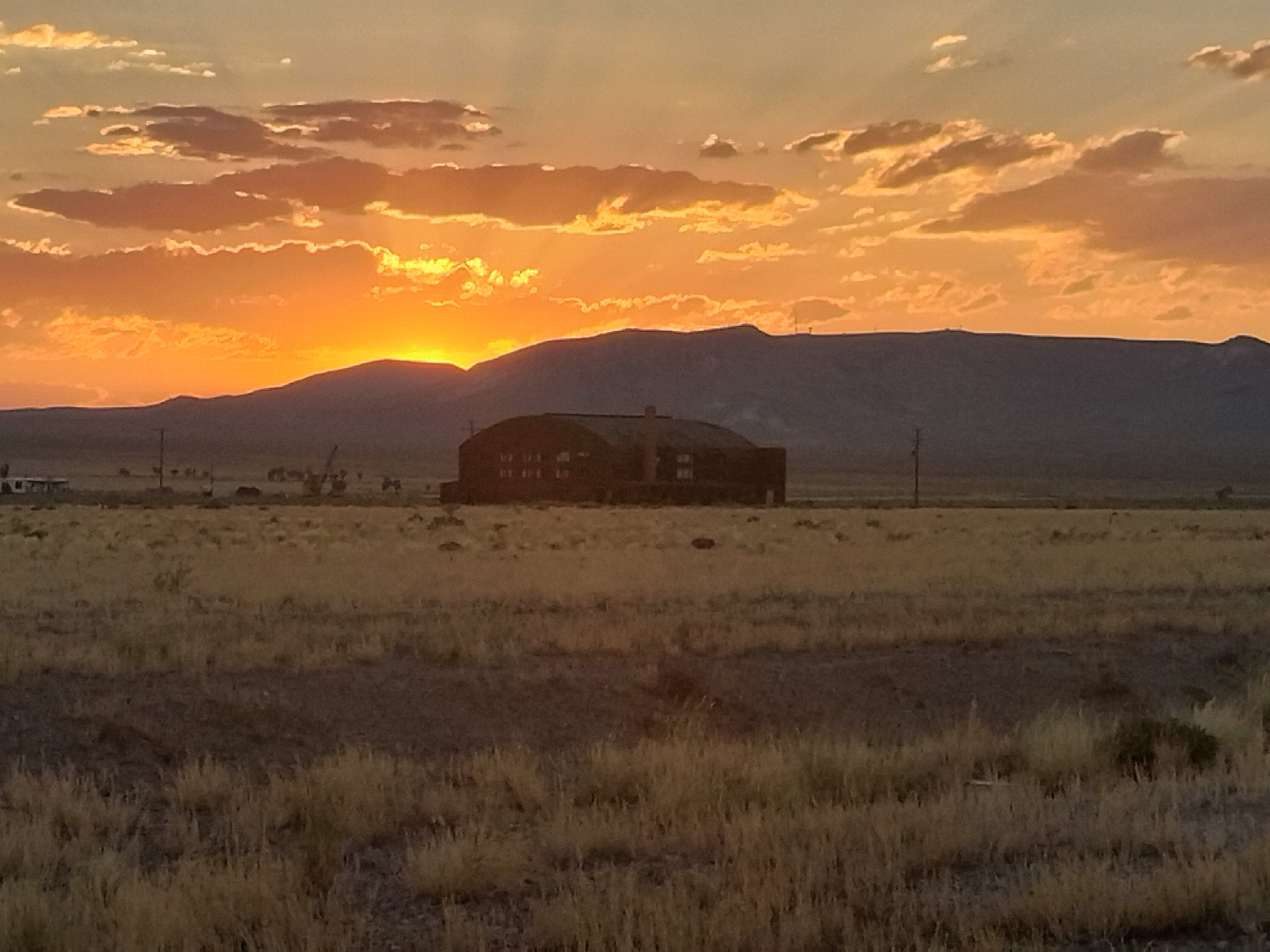
Typical sunset

My evening stroll companion!